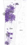
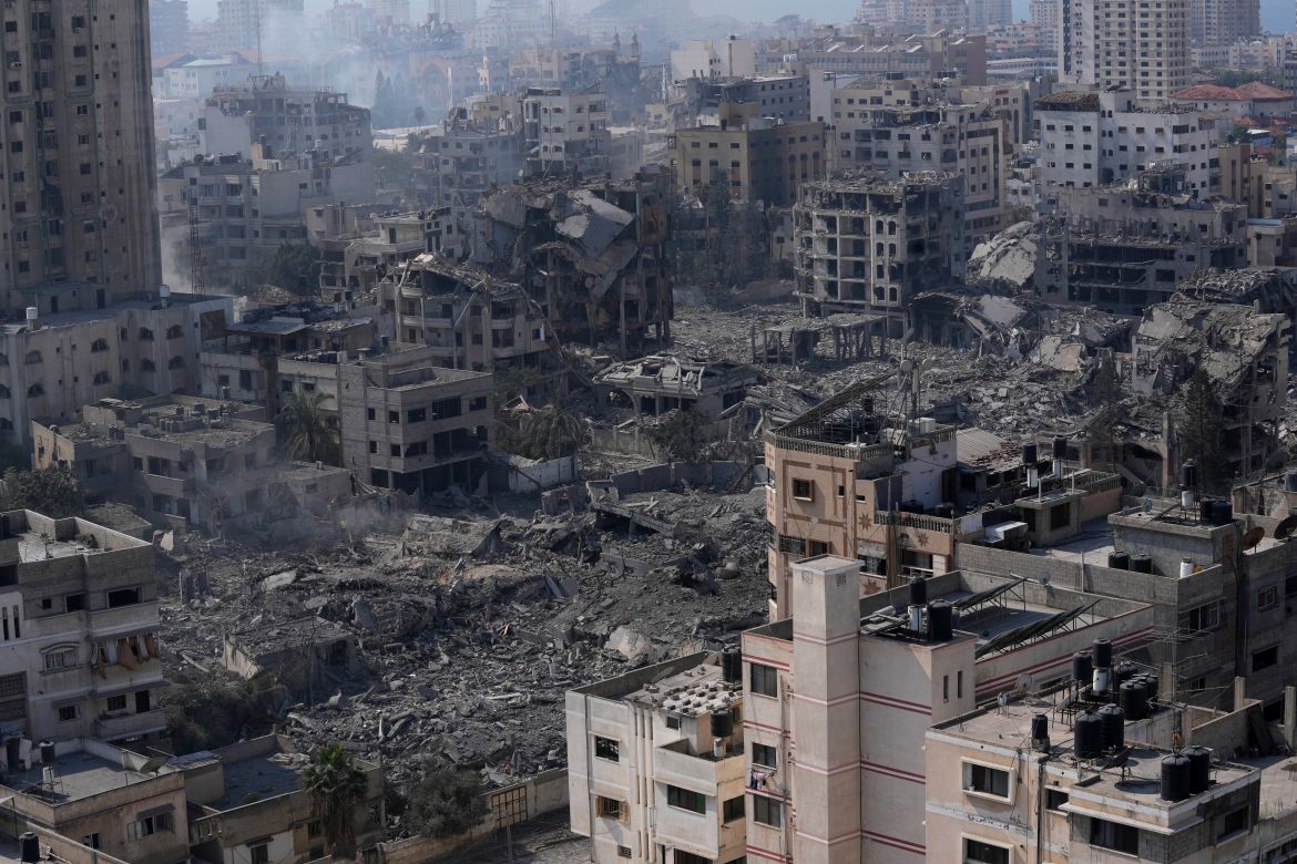
Not as easily as a map like that would suggest, because the purple areas are only the absolute most intensively populated. Much of the white area is unsuitable also. Just look at an aerial photo instead and think "if I were there, where would I go"?
Even your above map shows that most of the more rural area is along the Israeli border, and that area people are fleeing because it is an active warzone. Moving towards the sea, most of the strip is built up. You could go to the beach, but that won't fit the whole population, and it is well known that in the 2014 war Israel even killed civilians on the beach itself as that received considerable media coverage (incidents Israel called accidents, and which probably were accidents, but will be fresh in the minds of Gaza residents).
But wherever you think is a good place to flee to, Hamas will think the same thing and probably go there also, drawing the war to you anyway.
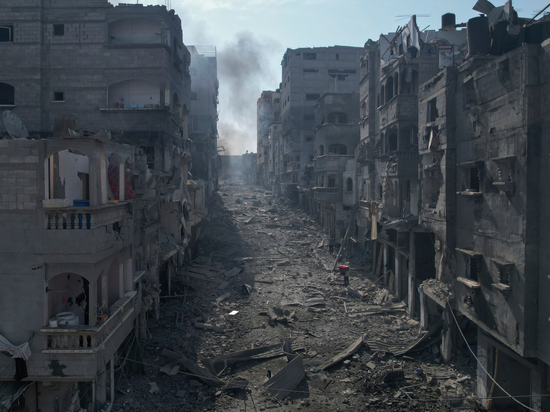
There are some patches of open ground, not enough for everyone to go to but they do exist. But then you'd be in the open with nowhere to hide, and if shrapnel or bullets start flying you'd be in a death trap. So maybe you'd be better off staying in the city and hoping your building was one that wasn't bombed, at least you'd have a wall to hide behind if shooting happens in your street.
That is the dilemma actually facing Gaza residents. Seriously - look at an aerial photo, put yourself in the middle of Gaza city, and think "what would I actually do" remembering there are over 2 million other people around you trying to do the same thing and likely already crowding whatever spot you see that looks good to flee to. And some of those will be Hamas in plain clothes, possibly known to Israel but not to you.
The only way to actually let civilians flee without Hamas would be to open a border crossing and use extremely strict screening to identify civilians and allow them out while keeping Hamas in.


